Tag Archives: Virginia

George Washington and Jefferson National Forest, Virginia

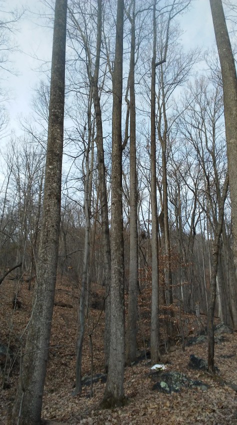
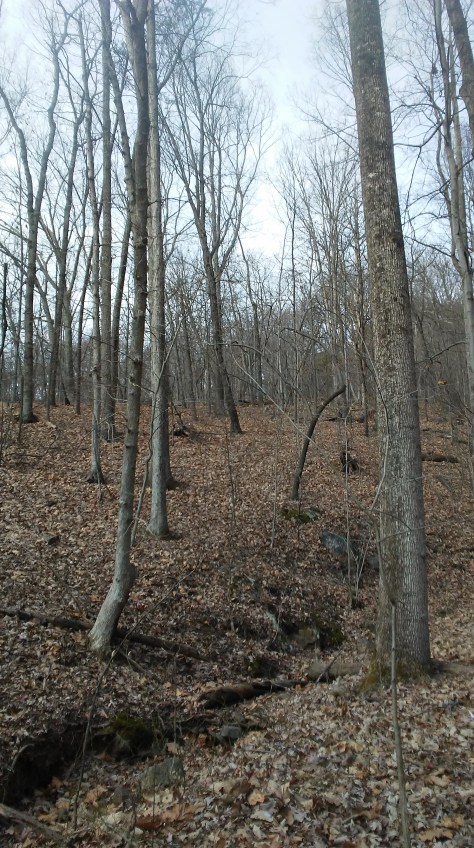
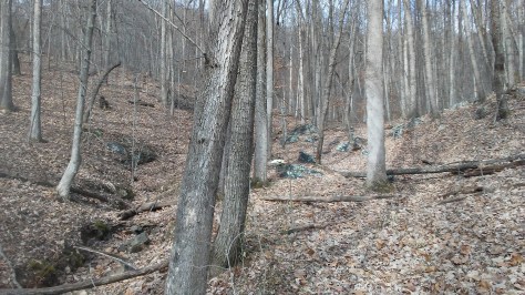
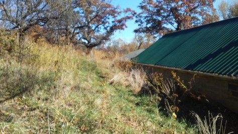
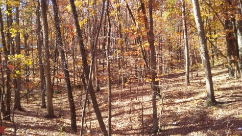
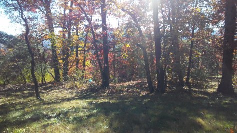
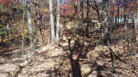
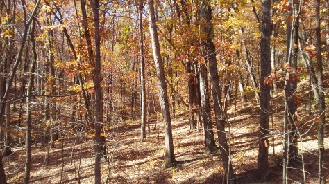
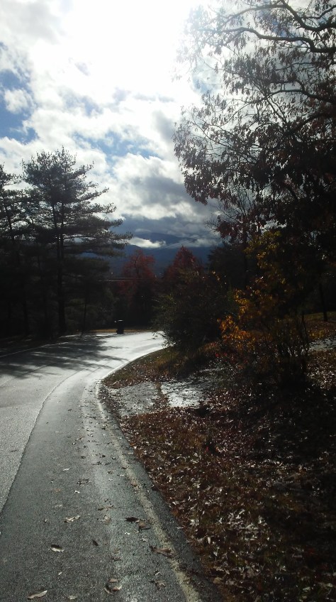
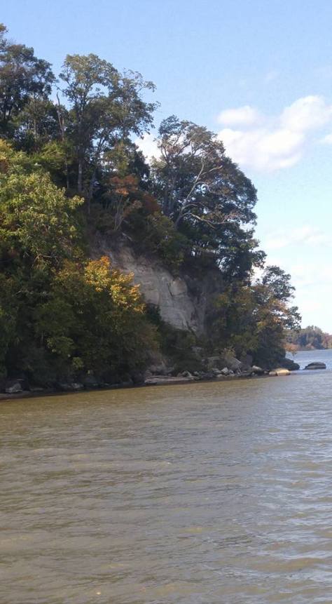
December 2016.  These woods are among the Allegheny Mountains, along the Appalachian Mountain Range.


20161231_120702

20161231_120651

20161231_120646

20161231_120619

20161231_120556

20161231_120439

20161231_120326

20161231_120546


Potomac Mills Mall, Woodbridge, Virginia, November 2016

20161116_152213-1

Roanoke, Virginia, November 2016 (2)

20161121_125122

20161121_125047

20161121_125030

20161121_125001

20161126_165506

20161126_165504

20161126_165458

20161126_165436

20161126_165432

Roanoke, Virginia, November 2016

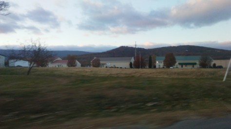
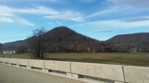
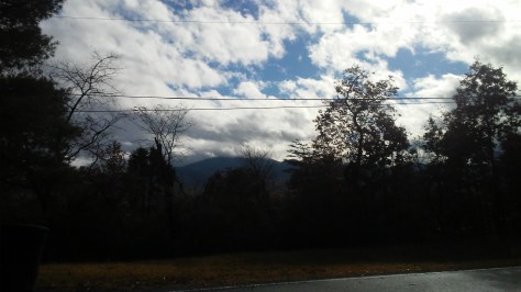
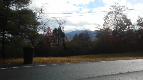
I’ve mentioned this before, but the mountains around Roanoke are so high that their peaks ascend the clouds.  You can see them from our back porch.

I will never tire of seeing that.


20161121_124549

20161121_124251

20161121_124448

20161121_124558

20161129_134144

20161129_134142

20161129_134101

Alexandria, Virginia, Train Station, October 2016

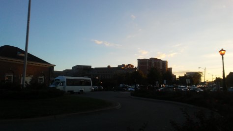
The first two pictures of the Alexandria train station here are quite poor, but I’m running them anyway.  The first photo shows a falcon perched in a tree just outside the building.  (He kinda surprised me by launching himself up from some shrubbery just 12 feet away.)  The picture just doesn’t do him justice.  He was huge.

The second photo shows the headquarters of The Motley Fool, even though you can read its sign in white letters only if you squint.  It was a weird surprise for me as I milled about, waiting for a train that was delayed for three hours.  The Motley Fool website is a favorite for my finance-type friends in the New York metropolitan area.

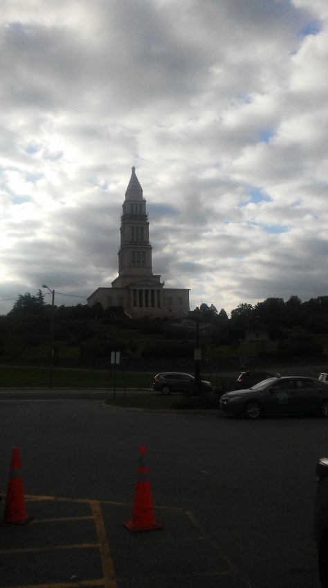
The structure in the third photo should be recognizable to anyone who takes the metro north — the 333-foot George Washington Masonic National Memorial.  It stands atop Shooter’s Hill, which was considered by James Madison and Thomas Jefferson as a possible site for the nation’s capitol.  It doesn’t date from the Revolutionary period; it was built in 1922.

It’s an odd, foreboding looking building, if you ask me.  Its design seems schizoid — it can’t decide if it wants to be an ornate cathedral or a nondescript, staid looking modern bank.  It was supposedly designed after the legendary Lighthouse of Alexandria in ancient Egypt.


20161005_181634

20161005_181703

20161005_170848


Leesylvania State Park, Virginia, October 2016

14716182_10211682328560320_7891708376820511875_n

20161023_152736

OLYMPUS DIGITAL CAMERA

OLYMPUS DIGITAL CAMERA

OLYMPUS DIGITAL CAMERA

OLYMPUS DIGITAL CAMERA

14720569_10211682327680298_3579376635660998975_n

OLYMPUS DIGITAL CAMERA

OLYMPUS DIGITAL CAMERA

OLYMPUS DIGITAL CAMERA

14680603_10211682327080283_7372318622404868026_n

OLYMPUS DIGITAL CAMERA

OLYMPUS DIGITAL CAMERA

Well, Sammy T’s in Fredericksburg is closing …

See yesterday’s article in The Free Lance-Star linked below.

I do believe that all of the major Mary Washington College hangouts in the mid-1990’s are now gone … Unless I am mistaken, Spanky’s, The Irish Brigade and Mother’s Pub have all long since closed … I think not long after the Class of 1994 graduated.  (Correct me if I’m wrong — PLEASE.  It would make me feel better.)

It … just isn’t the same Fredericksburg any more.

What about that country bar on Princess Anne Street?  The one that was supposedly so rough — but fine to take your date on those “okay” nights when they had square dancing?  Was it “The San Antonio Rose?”  Or was it called “The Yellow Rose of Texas,” after the song?  Something like that?

http://www.fredericksburg.com/business/local_business/downtown-restaurant-sammy-t-s-to-close-this-weekend/article_1e7fb875-6824-5b43-b964-3f00d52af4ef.html

The Roanoke Star and Mill Mountain, Virginia, October 2016

The Roanoke Star has crested Mill Mountain more than 1,000 feet above the city since 1949.  It is visible for 60 miles, and results in Roanoke’s nickname as the “Star City.”

The views of the Roanoke Valley from the mountain’s crown are breathtaking.


20161008_152542

20161009_195021

20161009_195011

20161009_194949

20161009_194946

20161009_194954


Roanoke, Virginia, October 2016 (2)

Rainy Roanoke.

20161007_135536

20161007_135539

20161007_135430

20161007_135352

20161007_135226

20161007_134928

20161007_135111

20161007_135059


Roanoke, Virginia, October 2016

Rainy Roanoke!  It actually is a beautiful small city, even during an overcast October week — and the skies cleared up brightly my last day there.

What I loved most about the city during the daytime is how the surrounding mountain peaks ascended to be obscured by darkening alabaster clouds.  It’s as though some celestial painter was coloring outside the lines, and brushed broad swathes of smoky white to cover the summits, and to turn the slopes the hues of deep, royal blue-gray and dimming charcoal.

This entire region in Southern Virginia rests along a broad valley encircled by mountains — the Blue Ridge Mountains to the east and the Allegheny Mountains to the west.  (The Alleghenies are where you can find Iron Gate and Clifton Forge.)  It is slightly disorienting for a first-time visitor to see mountains virtually everywhere on the horizon; I think it subtly affects one’s sense of direction.  (Mill Mountain, home of the famed Roanoke Star, is within the city limits.)

There actually is a Long Island, Virginia along the Roanoke River, presumably where all the cool people live.  Just northwest of that is Altavista, Virginia, with its notable cottage industry of obsolete Internet search engines.

My girlfriend calls Roanoke “The Snow Globe City,” and that makes sense when you view downtown from the highway.  It is a quaint looking southern city, its streets are neatly lined with boxlike period buildings, and it has the appearance of a picturesque architectural huddle.

And there are churches everywhere within the city.  It is indeed part of the Bible Belt.


20161008_152911

20161008_152734

20161008_152431

20161008_152429

20161008_152422

20161008_143049

20161008_142646

20161008_142642

20161008_142640

20161008_142636